We sat down with the Goyder Institute’s new Independent Chair, Jody Swirepik, to hear more about her experiences from her career and her future focus with the Goyder Institute
What first sparked your interest in the environment
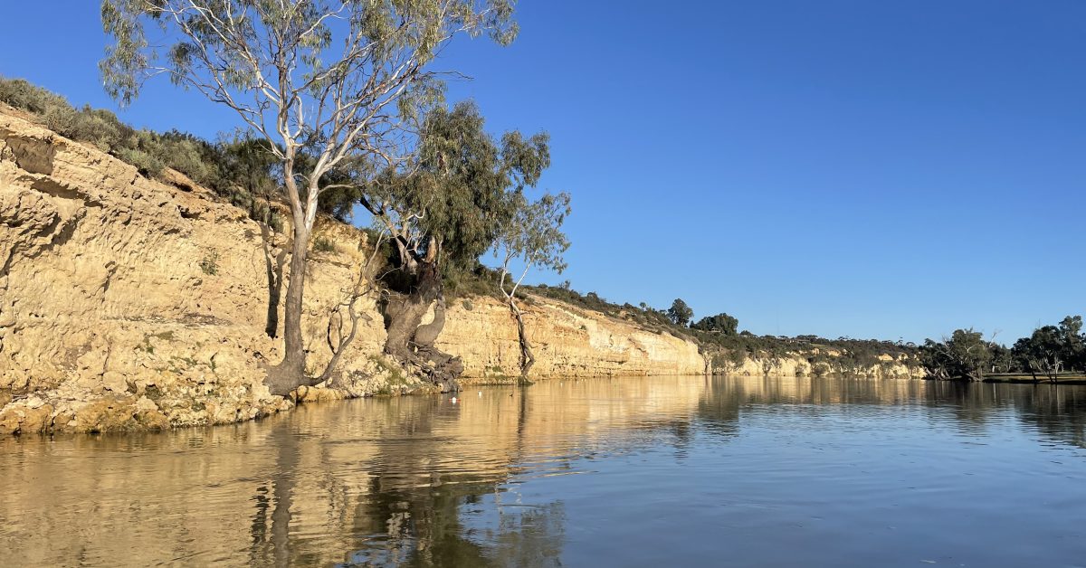
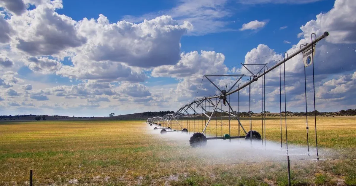
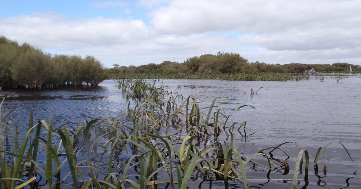
Following the successful launch of the Coorong, Lower Lakes and Murray Mouth (CLLMM) Research Centre, the team shifted their focus to the upcoming research, community and education programs.
Late February and early March proved to be a
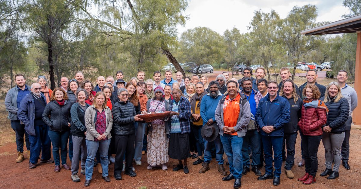
The Goyder Institute for Water Research have released a comprehensive report capturing the outcomes of the national ‘Working together for better drinking water in the bush’ forum held in Mparntwe (Alice Springs) on 27-29 June 2023.