Home / Water Resources / Adaptation of the South-Eastern drainage system under a changing climate
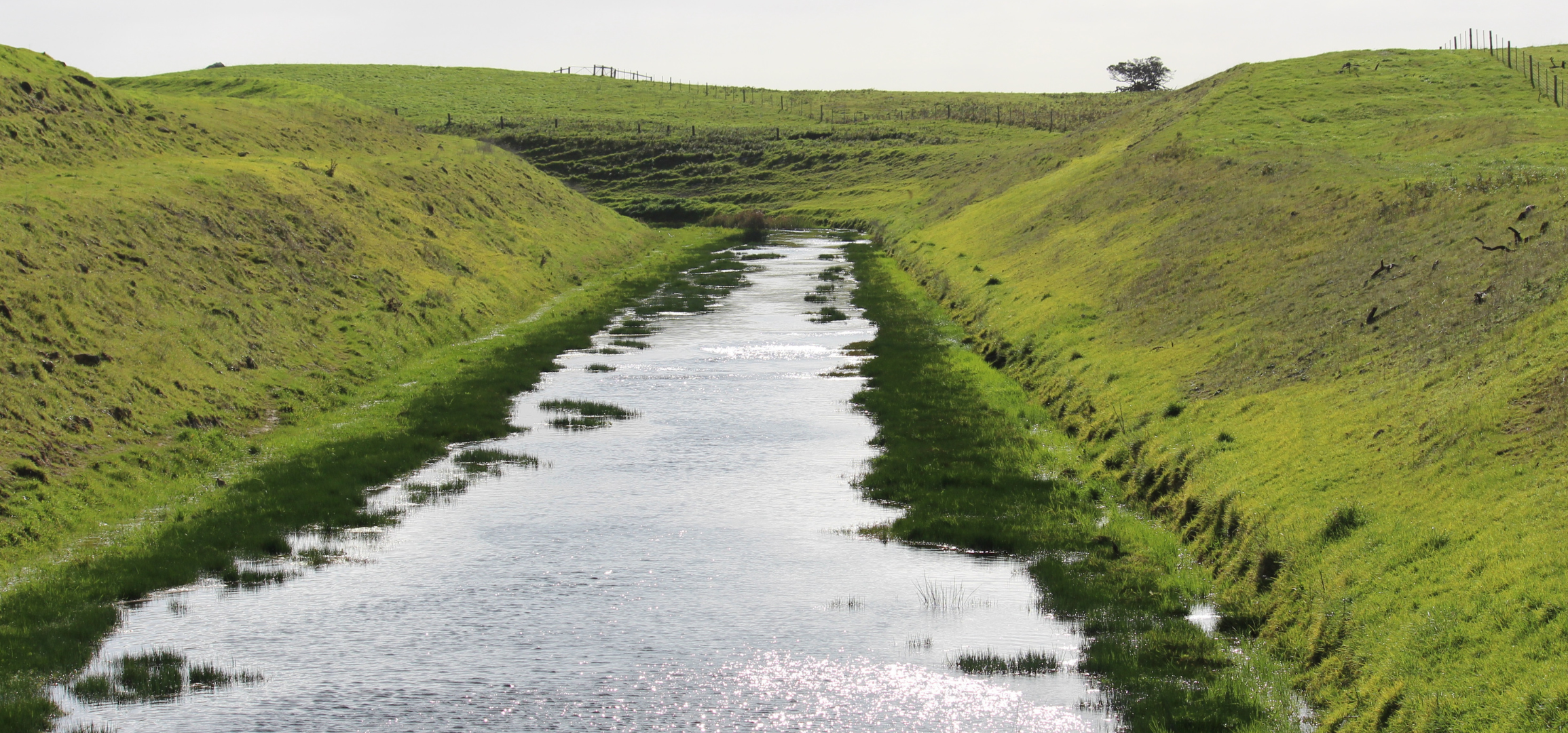
Identifying opportunities to redirect and retain drainage water in the landscape to mitigate risks and build resilience of primary industries and groundwater dependent ecosystems.
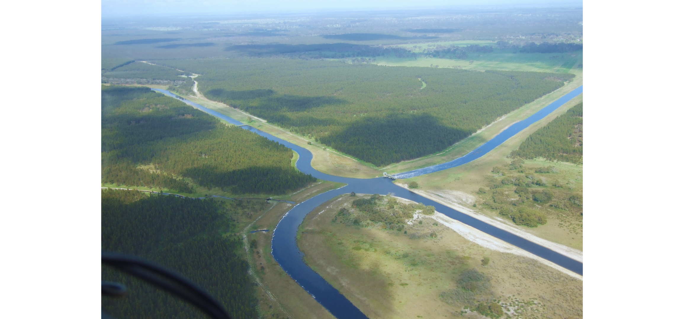
The “Adaptation of the South-Eastern drainage system under a changing climate” project identified opportunities to redirect and retain drainage water in the landscape to mitigate risks and build resilience of primary industries and groundwater dependent ecosystems. Specifically, this will assess the potential to manage the drainage water to locally recharge groundwater to provide additional water for meeting the environmental water requirements of key wetlands (“recharge farms”), navigate projected climate change, and mitigate the risk of seawater intrusion.
The project was a part of the Limestone Coast Landscape Board’s broader water resource management approach of “Making every drop count”, which has funding support through the National Water Grid Fund, the State Government’s Landscape Priorities Fund, and the Limestone Coast Landscape Board itself. The work also forms an important part of the Institute’s priority Impact Areas of Water for Agriculture and Water for the Environment of the Institute’s Strategic Plan, 2020-2023.
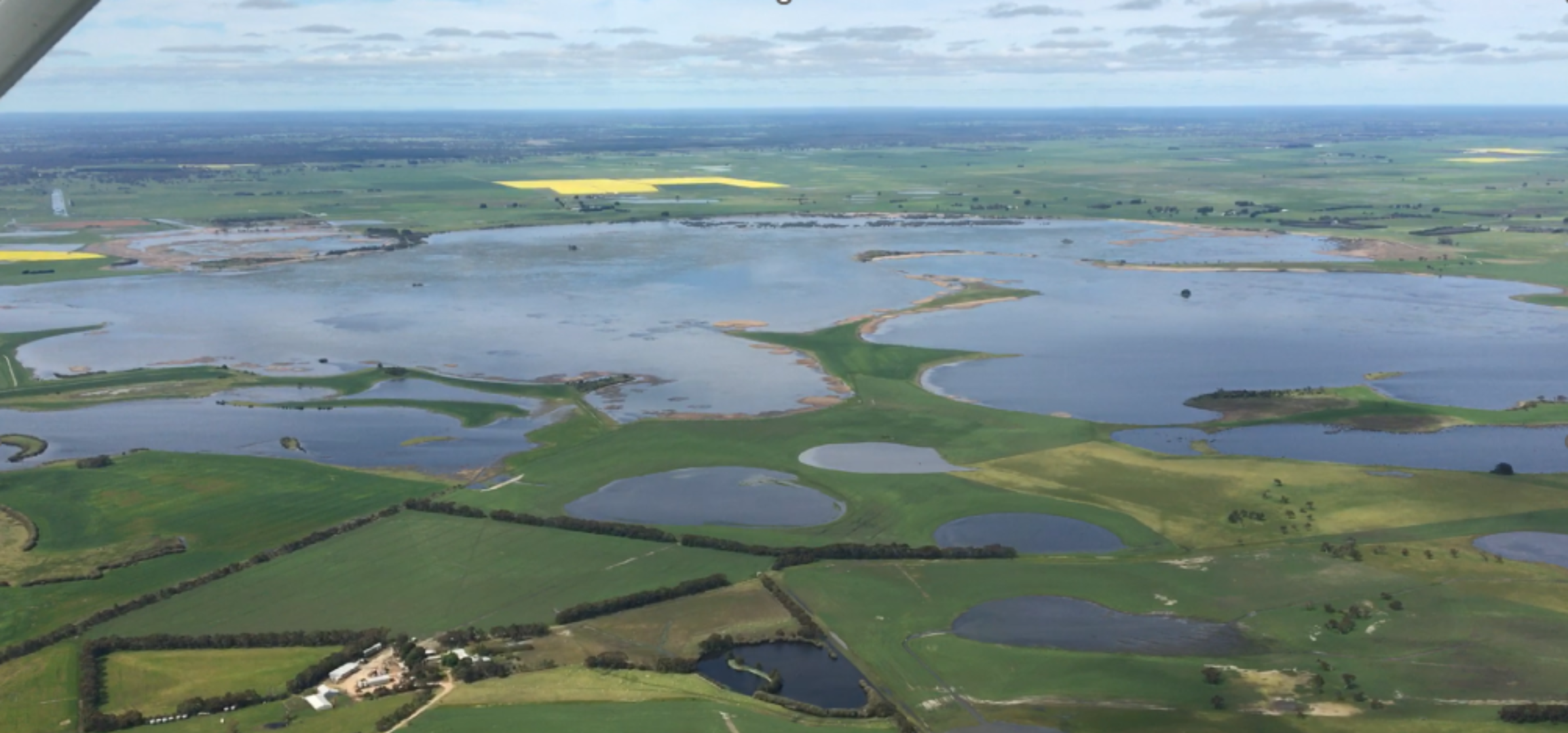
The Limestone Coast Landscape Region contains a diverse and productive agricultural sector that supports the local economy and a number of regionally, nationally and internationally important wetlands. These values are underpinned by the availability of good quality groundwater but demand for good quality water is outstripping supply. The Lower Limestone Coast Water Allocation Plan (LLC WAP), which covers the southern part of the region, has reduced allocations of irrigators for some management areas to mitigate risks associated with the over-allocation of water resources and to achieve the broad environmental and social goals of the plan.
Climate change and increased water demand will put further pressure on existing water sources. Observations suggest that the Limestone Coast has already experienced a 1-5mm/year decrease in rainfall since 1960. Fu et al (2019) and Crosbie et al (2013) established a 1 mm/year decline in recharge over the period 1970-2012, which is expected to continue under future climate scenarios. Under an extreme wet scenario there may be no change to recharge, but under an extreme dry scenario there may be a 42% reduction by 2050, with similar patterns for surface water (Crosbie et al. 2013).
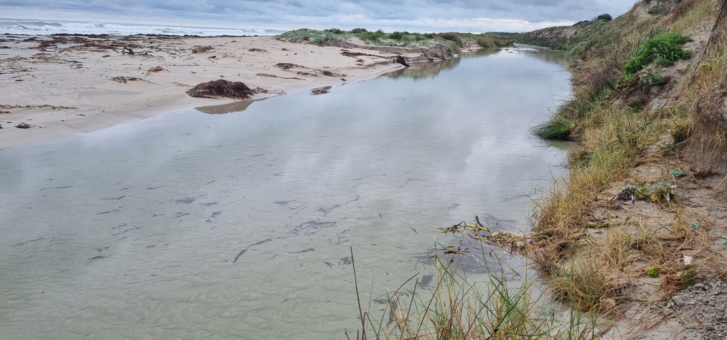
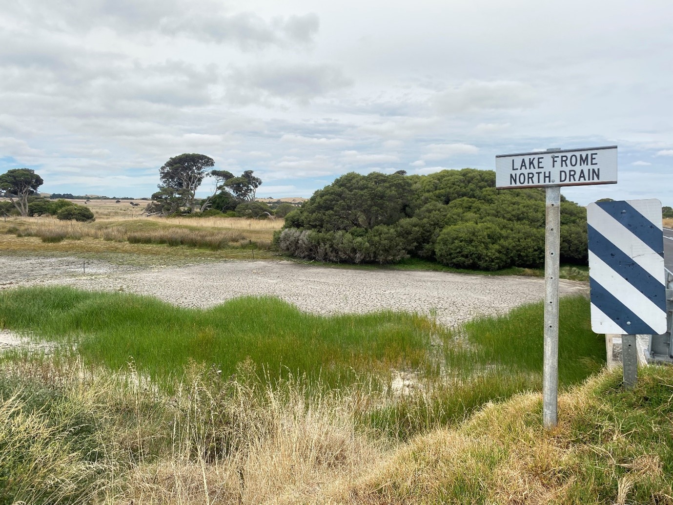
The Limestone Coast Landscape Board (Landscape Board) were seeking to identify whether there were opportunities to better manage water from the extensive drainage network in the region to address risks to primary industries and groundwater dependent ecosystems. The study area corresponds to the area of the Lower Limestone Coast Prescribed Wells Area, as covered by the LLC WAP, and is referred to as the “Limestone Coast”.
General approach
The project was divided into five interdependent research tasks – their objectives and approaches are summarised below:
Project Leadership
A transdisciplinary and multi-organisational research project will be delivered by the Goyder Institute for Water Research and its research partners (CSIRO, Flinders University, the University of South Australia and The University of Adelaide) to identify management options for the region. There are four task leaders that will form the research leadership team for the project:
Dr Bethany Cooper
Dr Bethany Cooper is a Senior Research Fellow in the Centre for Markets, Values and Inclusion within the Business academic unit at the University of South Australia. Her work has focussed on applied research, particularly in quantifying difficult policy trade-offs in the water sector and improving understanding of the complexity of choice. Dr Cooper has completed research projects for a number of national and international government and water agencies. She has published in a number of highly ranked journals and has won a number of prestigious prizes for her research (e.g. CEDA prize awarded for excellence in economic policy). Dr Cooper was a founding member of the Women in Economics Network and currently serves on the SA Australian Water Association committee.
Dr Matt Gibbs
Matt Gibbs is a Senior Research Scientist (hydrologist) in CSIRO’s Water Resource Assessment team. Matt has 15 years’ experience in the fields of water resources, modelling (focused on hydrological, hydraulic and water quality modelling) as well as optimisation techniques. Prior to joining CISRO in 2021 he held a joint appointment as a Research Fellow at The University of Adelaide and Principal Hydrologist at the Department for Environment and Water, South Australia. This joint appointment put him in the unique position to have detailed knowledge of the modelling and advice needs within government, and of techniques and research developments to improve this advice. Through this role he developed strong relationships with state and federal governments and other stakeholders working on technical and policy matters in the Murray-Darling Basin and South East of SA.
Prof Adrian Werner
Prof. Werner is a renowned expert in groundwater modelling, demonstrated through his recently completed ARC Future Fellowship on coastal groundwater systems, through which a myriad of modelling approaches was used in delivering landmark knowledge gains and research publications. Prof. Werner is also one of the authors of the Australian Groundwater Modelling Guidelines (2012), and has completed more than ten industry reviews of groundwater models and modelling studies, which include a 2015 review of SIMRAT, the model used by the South Australian Government to evaluate salinity changes to the Murray River arising from groundwater-affecting activities. Prof. Werner regularly provides expert reviews of international grants (17), postgraduate theses (7), and international journal articles (>140 articles in total).
Dr Tim Munday
Tim Munday has more than 30 years’ experience in the application of hydrogeophysical methods; particularly airborne and ground-based electrical, electromagnetic methods, plus borehole and surface nuclear magnetic resonance methods for groundwater and aquifer characterization, understanding surface water – groundwater interactions and environmental assessment. He has driven a research path involving the development of technologies for understanding minerals, water and environment, believing that they are intimately linked. He is currently the Research Director of CSIRO’s Deep Earth Imaging Future Science Platform, which comprises a group of researchers developing advanced geophysical, mathematical and computational tools along with new geochemical and geological approaches/understanding to more precisely image the subsurface, to underpin our exploration concepts, and to predict processes that form our minerals, energy and water resources.
The adaptation of the south eastern drainage network under a changing climate project informs opportunities to improve water management in the region, including the potential use of water in the drainage network. It considers risks to primary industries and wetlands.
The project delivered five interconnected tasks which can be found in the report section of the website.
Collectively, the project tasks will provide critical knowledge to support the LCLB identify management options for the drainage network for addressing risks to groundwater dependent ecosystems and primary industries. Adoption of the knowledge will improve the prosperity of the region through enhanced economic, environmental and social values.
The primary means of knowledge transfer is the preparation of 6 peer-reviewed and publicly available technical reports and 7 sets of data/models/GIS products. There will also be a series of interim reports and presentations during the project itself.
Project governance
The LC Landscape Board will approve activities and funding against the agreed project agreements through its Project Manager and Project Director. The Project Advisory Committee (PAC) will provide advice on the project scope, and approach for addressing end-user needs; providing linkages to related initiatives and identify existing information available from within their respective organisations. The PAC will be chaired by the Manager, Planning and Engagement of the LC Landscape Board and include LC Landscape Board, Department of Environment and Water (DEW), South Australian Research and Development Institute (SARDI), South Eastern Water Conservation and Drainage Board (SEWCDB) and partner agency staff.