Dennis Gonzalez is a spatial and environmental scientist with over a decade of experience at CSIRO, following several years in the South Australian State Government. His expertise spans water resource assessments, environmental impact analysis, and managed aquifer recharge, with a focus on drought resilience and sustainable water supplies. Dennis is currently pursuing a PhD at the Australian National University, researching probabilistic methods for assessing managed aquifer recharge potential. Dennis has been a key researcher in Task 5 of the Goyder Insititute’s Adaptation of the South East Drainage System to a Changing Climate project. We asked Dennis a few questions about the research.
Can you describe the task area that you have been working on?
The Adaptation of the South East Drainage System to a Changing Climate Task 5 project team has delivered the Groundwater, Ecology, Surface water and Wetland Assessment Tool (GESWAT), a powerful tool that integrates data on groundwater, ecology, surface water, and wetlands. This spatial database and GIS package is accompanied by a comprehensive Data Dictionary, ensuring clarity and accessibility of critical data.
What impact/ benefit will this research bring to the region?
GESWAT is designed to significantly enhance our ability to understand, manage, and communicate vital information concerning the South East region of South Australia’s precious water and ecological assets. GESWAT is tailored for use by Limestone Coast Landscape Board staff to help them yield insights and inform decisions on a variety themes.
Whereabouts in the region is the research being done.
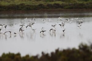
GESWAT covers the Lower Limestone Coast and Padthaway Prescribed Well Areas as far north of about Tintinara and south to Port MacDonnell.
A little about you: What do you enjoy outside of work?
Outside of work I enjoy spending time outdoors with my family, writing and recording music and riding anything with two wheels.