Media Release
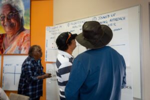
South Australia – The Goyder Institute for Water Research is pleased to announce the completion of the major research initiative Adaptation of the South-Eastern Drainage System under a Changing Climate. This collaborative project, delivered in partnership with the Limestone Coast Landscape Board, CSIRO, Flinders University, the University of South Australia and the University of Adelaide, has culminated in the release of comprehensive reports across all five project task areas, providing vital new knowledge to support water management decisions in South Australia’s Lower Limestone Coast.
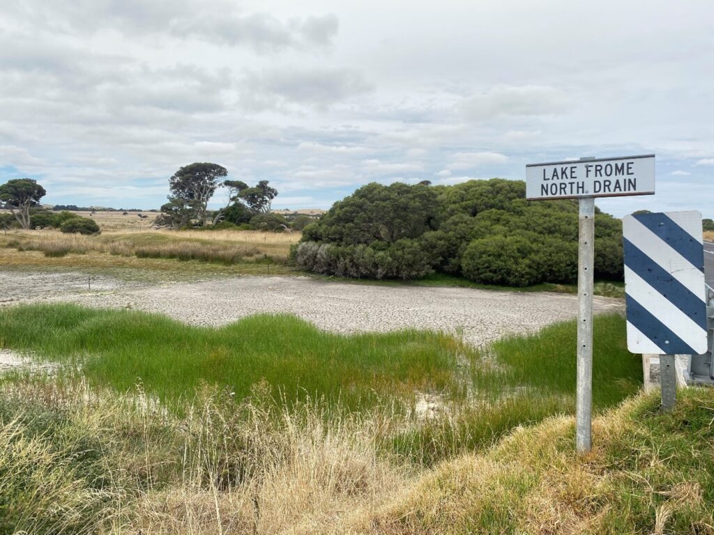
The project set out to inform opportunities to more effectively manage water in the Limestone Coast’s extensive artificial drainage network, addressing risks to primary industries and groundwater-dependent ecosystems (GDEs) under a changing climate. Its findings will support policy, planning and on-ground action to strengthen water security and sustainable use in the region.
Five Key Task Reports Now Released
1. Quantifying the Value of Water – Led by researchers from the University of South Australia, this report examines the economic and ecological value of water for key regional industries, including dairy, forestry, viticulture and potatoes, and estimates community willingness to invest in improved wetland outcomes.
2. Current and Future Water Availability – A detailed water balance model for the Limestone Coast has been developed using AWRA-L to quantify water availability historically and under future climate scenarios. This model supports strategic decision-making for water use and adaptation.
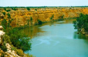
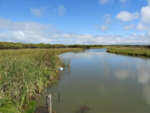
3. Groundwater and wetland modelling – Advanced three-dimensional models for Bool Lagoon and a coastal karst spring restoration site test water management options such as redirecting or holding water in drains and modification of wetland basins, with results that will support balancing needs of dependent ecosystems and primary industries.
4. Saltwater Intrusion Risk – A suite of reports assesses seawater intrusion risks in coastal areas south of Mount Gambier, informed by airborne electromagnetic surveys and groundwater modelling. These findings provide critical insights for protecting irrigated agriculture and sensitive wetland ecosystems.
5. Groundwater, Ecology, Surface Water and Wetland Assessment Tool (GESWAT) – This dynamic GIS-based decision support tool integrates outputs from all project tasks, enabling agency partners and land managers to access, compare and interpret hydrological and ecological data in a single platform.
The release of these reports marks the culmination of a comprehensive research effort that enhances understanding of the complex interactions between surface water, groundwater and ecological systems in the Limestone Coast landscape. The insights generated will directly contribute to improved water resource planning and adaptation strategies for the region’s primary industries and environmental values.
The project was jointly funded by the Australian Government through the National Water Grid Fund, the South Australian Government and the Limestone Coast Landscape Board.
All five task reports are now publicly available and can be accessed via the Limestone Coast Landscape Board and Goyder Institute for Water Research websites.
About the Goyder Institute for Water Research: The Goyder Institute for Water Research is a collaborative partnership of the South Australian Government through the Department for Environment and Water, Australia’s national science agency, CSIRO, Flinders University, and Adelaide University.
For media inquiries, contact:
Dr Alec Rolston
Director
Goyder Institute for Water Research
E: director@goyderinstitute.org
M: 0405 846 275
W: www.goyderinstitute.org