Home / Facilitating Long-term Outback Water Solutions (G-FLOWS Stage 3)
Facilitating Long-term Outback Water Solutions (G-FLOWS Stage 3)
Project Partners: CSIRO, Flinders University, and University of South Australia
Research Theme: Water for Industry
Status:
Project Overview
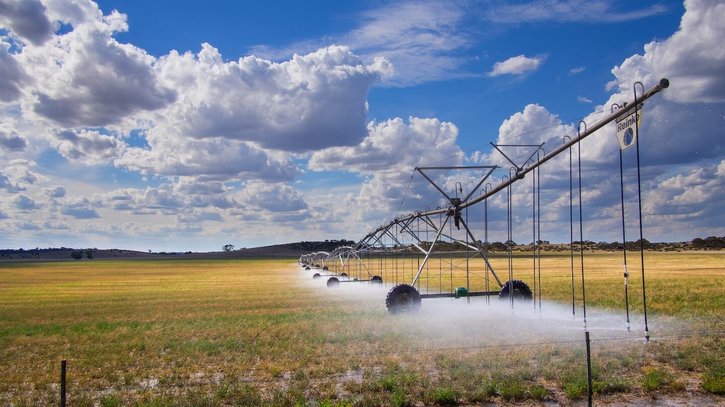
The Musgrave geological province of South Australia has been identified as a key priority area for exploration and mining development in the APY lands. The community water supplies in this remote, low rainfall area are dependent on local groundwater resources, of which there is insufficient data to establish the security of supply or regional water source options. There is a need for improved understanding of the groundwater resource potential in these remote, data poor areas to support communities, industry and the environment.
The State Government has identified the Musgrave geological province as an important frontier exploration area for further mining industry development in South Australia. Water supply for mining operations will be a major issue for development of mining in these areas. In order to assist the development of mineral resources and facilitate improvements to the water security of regional communities in the Musgrave geological province, there is a need to better understand the potential of groundwater resources in these areas to supply water of suitable quality for the purposes of mining operations, as well as for community water supplies and aboriginal pastoral industry development. The key management issues to be addressed are:
The paucity of groundwater information available to provide advice to the mining sector regarding water supply options for new developments in these regions; and,
The need for methods to gather groundwater data cost-effectively over a large area, utilising (airborne) remote sensing technologies and other landscape, geology and hydrogeology information to target field investigation and assessment programmes.
The research questions addressed by the GFLOWS Stage 3 project were:
Can the application of airborne electro-magnetic survey methods for the quantification of the potential volume of unconfined groundwater resources be validated, based on data derived from ground-based hydrogeological investigations?
Within the Musgrave geological provinces, where are the locations with the highest likelihood of groundwater resources that are useful for mining water supply or regional community water supplies?
Progress Update and Key Findings
G-FLOWS Stage 3 placed a particular emphasis on building on and extending the scientific approaches taken in G-FLOWS Stage 1 and 2, specifically by extending the geophysical inversion process which is expected to reduce uncertainty in groundwater resource characterisation. The approach validated, refined and improved geophysical interpretation techniques for groundwater hydrology with integrated hydrogeophysical conceptualisation, characterisation, and modelling. A key output of GFLOWS Stage 3 is a repeatable methodology that integrates datasets to identify and characterise groundwater resources.
This project undertook a targeted program of data acquisition, interpretation and mapping of groundwater resources in the Musgrave Province. The research applied innovative new modelling and interpretive techniques to help identify groundwater resources and better understand the hydrogeological environments in which they exist. The research involved four primary tasks:
Geophysics. The primary objectives of the geophysical component of the research were to undertake an assessment of hydrogeophysical techniques to inform the hydraulic character of aquifers in the APY Lands in conjunction with conventional hydrogeological data and to develop a regional scale 3D geological model of the unconfined aquifer system in the Musgrave geological province, through the full inversion of regional AEM data sets. The work assessed an appropriate inversion methodology and machine learning approaches to employ data from different AEM systems to deliver a seamless model across the area covered by the geophysical data. Employing these geophysical methods, coupled with conventional hydrogeological data, a model of the groundwater quality and its spatial variability and the indicative volume contained in the unconfined aquifer systems in the APY Lands was constructed.
Hydrogeology. The hydrogeology task developed a hydrogeological control site to test and validate ground and airborne geophysical data. The drilling and installation of investigation wells at the control site provided additional data for conceptual understanding of the groundwater system through interpretation of geophysical, geological, hydrogeological, remote sensing and geochemical data, and culminated in a conceptual model that captures the understanding of the regional and local flow systems. Remote sensing techniques were tested to identify groundwater receptors in recharge and discharge zones. The drilling campaign provided data that constrained and informed the hydrogeological information in the geophysics. The drilling campaign was preceded by an extensive desktop study to gather and summarise all available hydrogeological information.
Integration. The multiple lines of evidence drawn from the geophysics, hydrogeology and water quality research tasks were integrated to inform the objectives of the research, resulting in improved methods to understand groundwater resource potential in data poor areas. A platform to achieve integration of the hydrogeological information is the groundwater resource map, which provides a spatial estimate of the confidence that useful groundwater resources will be located at a given location. This resource map was created iteratively whereby the confidence in the first iteration will be generally low due to poor data availability, but by integrating improved conceptualisations and the various pieces of field-based information, the confidence about the available groundwater resources will increase. The iterative approach allowed for the integration methodology to be used to update the map in the future as more information becomes available. The project placed a particular emphasis on building on and extending the scientific approaches taken in Stages 1 (i.e. G-FLOWS-1) and 2 (i.e. G-FLOWS-2), specifically by extending the geophysical inversion process which is expected to significantly reduce uncertainty in groundwater resource determination. The approach integrated hydrogeological conceptualisation, characterisation, and modelling with refined and improved geophysical interpretation techniques.
Project Impacts
The G-FLOWS Stage 3 project supports the South Australian Government’s FLOWS initiative to locate, define and quantify groundwater resources in key areas of the state including priority mineral prospective zones as identified in the South Australian Regional Mining and Infrastructure Plan 2014. The project has improved mapping and quantification of groundwater resource availability in the Musgrave Province where the G-FLOWS Stage 1 project was focused.
The G-FLOWS Stage 3 project has identified new groundwater resources in the Musgrave Province.
The new methodologies and processing techniques developed through G-FLOWS can be directly applied elsewhere in Australia and overseas where valuable water resources are hidden by deep sediments and cover. Other areas in South Australia include the Olympic Dam province, Woomera region, and Southern Gawler Ranges on northern Eyre Peninsula in the Gawler Craton where GFLOWS 2 has previously contributed and the Braemar region, which is the focus of magnetite ore development. These are regions where the results of G-FLOWS Stage 3 project can be applied in future.